You can map an entire city from the belly of a plane and still need three miles of machete work to prove it exists. Archaeology lives right now suspended between satellite precision and the brute fact of jungle. A research team just formalized what the forest had been hiding: a Maya settlement called Ocomtún, buried in Campeche’s Balamkú ecological reserve. Its stone columns and pyramids were logged into scientific record for the first time. The name means “stone column” in Yucatec Maya, a direct description of what the lidar pulses detected through gaps in the canopy before anyone set boot on the ground.
What Actually Happened
The site occupies roughly 50 acres of raised platform, built during the Late Classic and Terminal Classic periods between 600 and 1000 AD. Its tallest pyramid climbs to about 80 feet. There are plazas, a ballcourt, altars, carved monuments, the full administrative and ceremonial kit of a regional hub. Ocomtún was a regional hub, not some backwater outpost. It sat at a node of trade routes, pulling influence and resources through the central Yucatán when the southern lowland cities were already sliding into the collapse that would empty them.
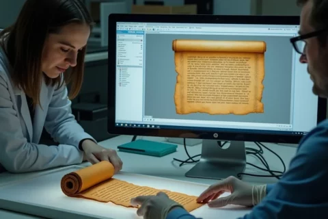
Lidar made the first move. Aircraft-mounted scanners fired millions of laser pulses through the canopy, measuring return times to build a three-dimensional point cloud of the terrain beneath. Processed into bare-earth models, the data stripped away vegetation and exposed geometric regularities: straight edges, platform mounds, the telltale signatures of human construction across kilometers of otherwise unreadable green. What would have consumed decades of foot survey happened in scheduled flight paths, the jungle never cleared, the terrain undisturbed.
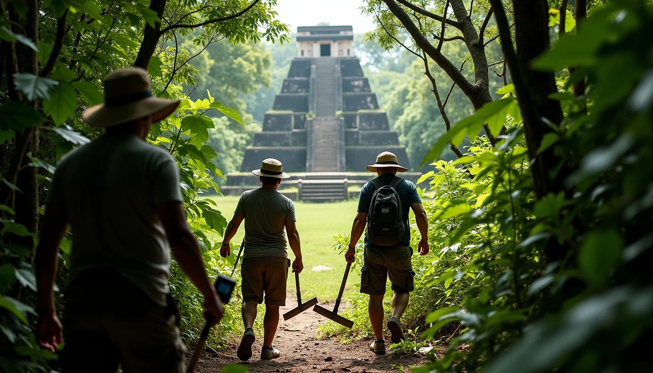
A bump in a digital model is not a city. The research team traveled beyond established logging routes into territory with no roads, no infrastructure, no supply drops. They covered more than three miles of dense growth to reach the coordinates the laser grid had provided. Machetes cleared the path. Axes helped where the undergrowth thickened into timber. GPS units translated abstract data points into walking directions through a forest that offered no landmarks. Satellite phones maintained the single thread back to the outside world. The humidity, the insects, the hidden sinkholes, the venomous wildlife were the actual medium of confirmation.
The Aftermath
The formal documentation reframes what “discovery” means in a terrain where people never stopped living. Indigenous Maya communities have maintained continuous presence on the Yucatán Peninsula for millennia. Oral traditions reference ancient places. Hunters and resource gatherers move through forest corridors that lead past ruins they may not name in academic terminology but know as landmarks, campsites, sources of stone or water, nodes in a lived geography. Ocomtún was unrecorded by a particular institutional process, but it was not lost to everyone.
That distinction carries weight. The research team has been explicit about this framing, acknowledging that local knowledge likely preceded their arrival. The archaeology does not begin with the lidar flight or the machete trek. It begins with a longer continuity that the formal record is only now catching up to.
Social tension exists between two velocities of knowledge. Satellite and lidar systems can identify settlement patterns across hundreds of square kilometers in hours. The ground expedition moves at walking speed, reading stone directly, confirming that a geometric anomaly is a platform and not a natural formation or recent clearing. Neither replaces the other. The technology reveals what to check. The human presence checks it.
Ocomtún’s particular profile, a major center flourishing during the period of southern decline, also complicates the standard narrative of Maya collapse. The Terminal Classic was not a uniform catastrophe everywhere. Some regions intensified. Some restructured. A 50-acre raised platform with an 80-foot pyramid and active trade connections suggests a polity that was managing something other than disintegration while its neighbors emptied. The stone columns that gave the site its name may have supported roofs now long collapsed, or stood as independent monuments. Their purpose is still pending excavation.
The research continues. The lidar data has identified more anomalies in the surrounding reserve. Each will require its own ground expedition, its own calculation of whether the geometric promise justifies the physical cost of verification. The jungle does not yield easily. The technology makes the search efficient but not effortless. The machetes remain essential; the human pace is still the final arbiter of what counts as real.